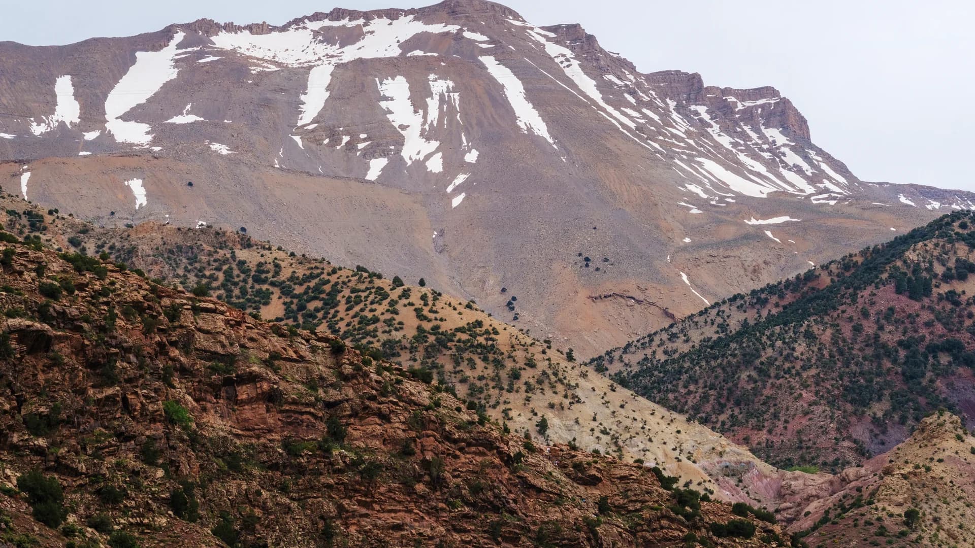
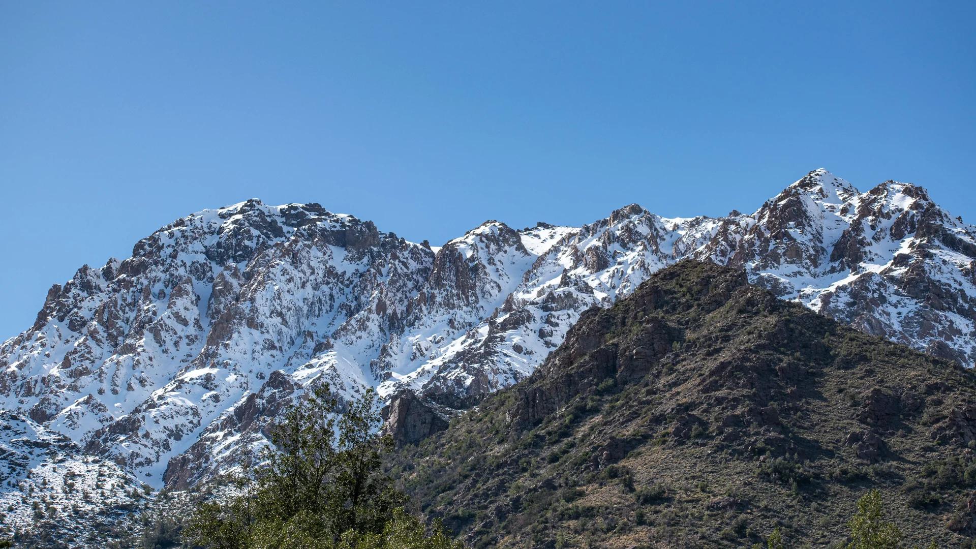
Toubkal massif · 4,167 m
Imlil Toubkal: From the Village to the Gateway of Morocco's Highest Summit
Preparing a departure for Toubkal starts in Imlil: meeting your guide, checking the programme and sorting out your gear. The village is also worth a visit in its own right, even without plans to climb.
- Toubkal altitude
- 4,167 m
- Starting point
- Village of Imlil
- Ascent duration
- Usually 2 to 3 days
- Intermediate night
- Mountain refuge
- Level
- Sustained to difficult
Imlil and Toubkal in a few facts
These durations remain indicative: weather, season, snow cover, group pace and acclimatisation can significantly change how a trek unfolds.
| Information | Answer |
|---|---|
| Imlil altitude | About 1,700 to 1,800 metres |
| Toubkal altitude | 4,167 metres |
| Region | High Atlas, Al Haouz province |
| Distance from Marrakech | About 65 kilometres to Imlil |
| Road time from Marrakech | Usually between 1h30 and 2h |
| Usual starting point | Village of Imlil |
| Ascent duration | Usually 2 to 3 days |
| Intermediate night | Usually in a mountain refuge |
| Physical level | Sustained to difficult |
| Winter difficulty | High in the presence of snow and ice |
| Most accessible period | Generally late spring to autumn |
| Guiding | A qualified local guide is strongly recommended |
Where are Imlil and Mount Toubkal?
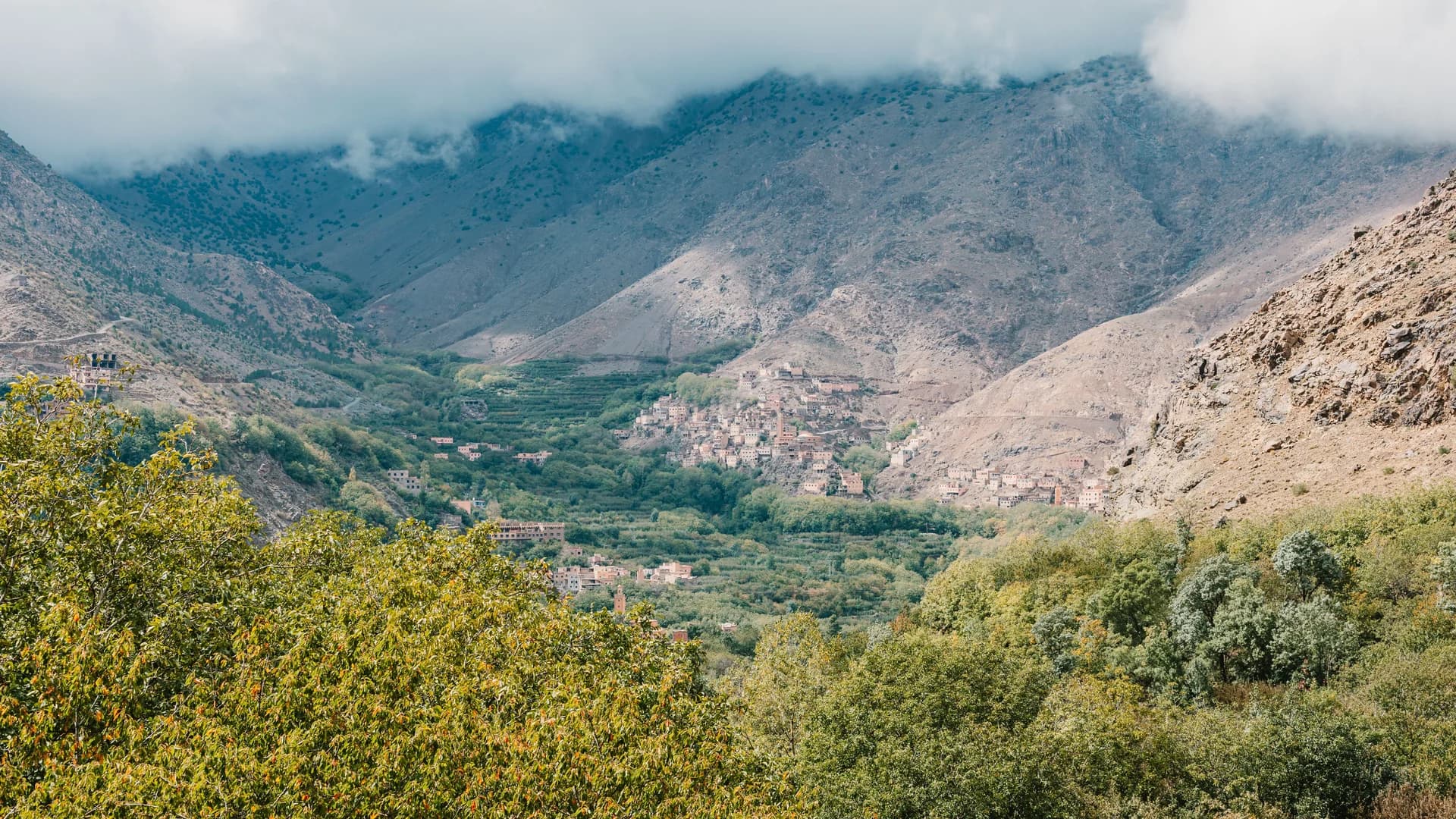
Imlil lies in Al Haouz province, south of Marrakech, in a valley surrounded by the high ridges of the Atlas. The village sits at the gates of Toubkal National Park and is the main hub of mountain tourism in this part of Morocco.
Mount Toubkal itself lies further south, at the heart of the massif. No vehicle connects Imlil directly to the summit: beyond the village and the last hamlets, progress is made on foot. The paved road runs as far as Imlil; the path toward Toubkal then begins gradually, winding between homes, terraced fields and the first mountain passages.
Practical tip : Allow some time on arrival: a night in Imlil lets you rest, check your gear and meet your guide under better conditions.
Why is Imlil the gateway to Toubkal?
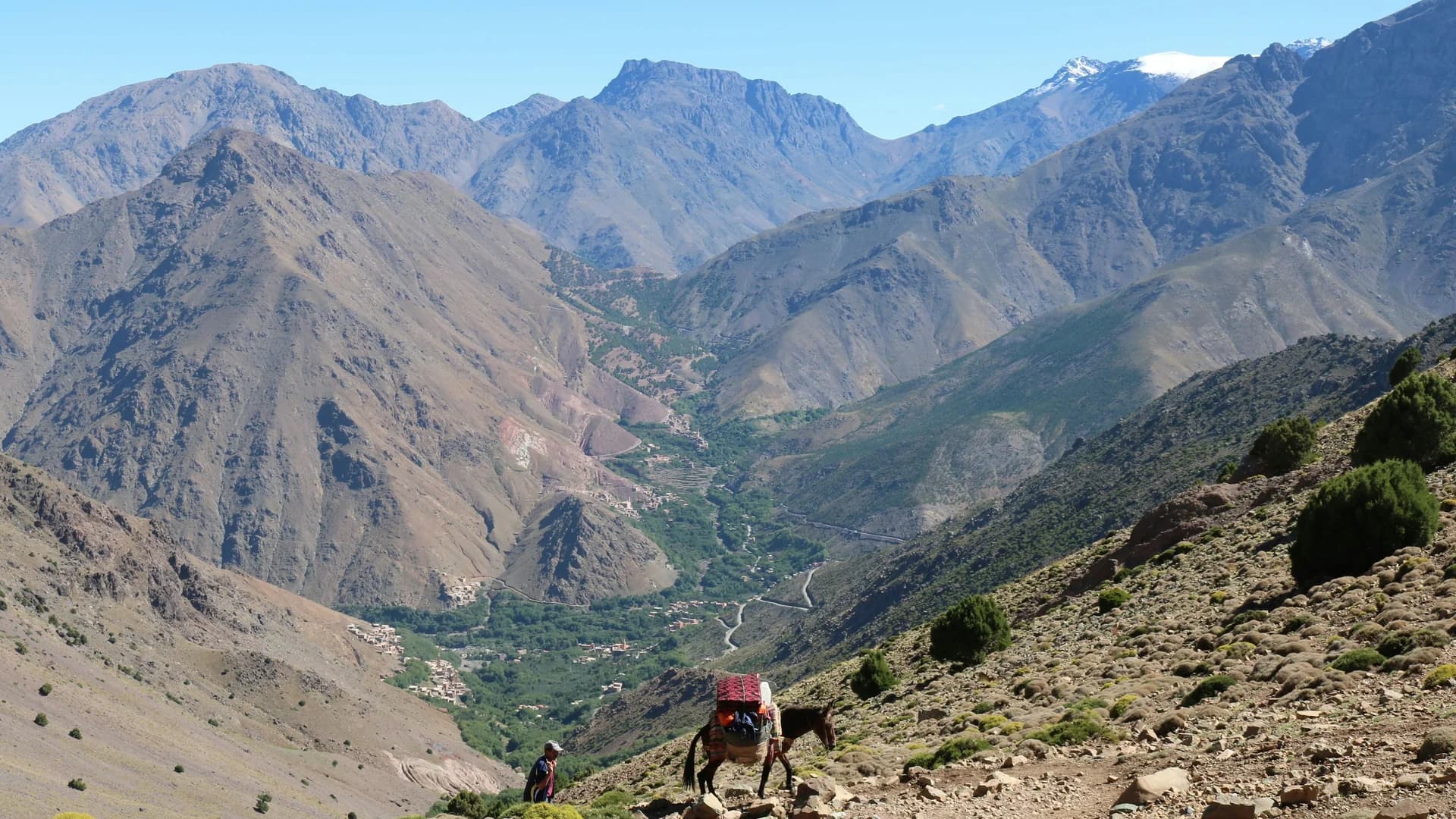
Imlil sits naturally between the road coming from Marrakech and the trails climbing toward the massif. The village brings together guides, mule handlers, accommodation, restaurants and shops specialising in hiking gear.
Imlil is therefore not just the nearest village: it is the real place where the adventure gets prepared.
- ✓Meet their guide to check the route, conditions and the group's level
- ✓Spend a first night rather than combining the drive with a long walk
- ✓Rent certain equipment depending on the season, particularly for winter
- ✓Arrange luggage transport with the help of mule handlers
- ✓Buy any last necessary items
- ✓Get informed on the actual conditions at altitude
What is the distance between Imlil and Toubkal?
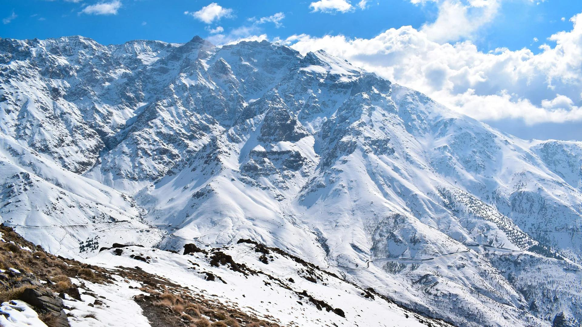
Distance only tells part of the story: in the mountains, elevation gain, altitude, terrain and weather matter more than the number of kilometres. Between Imlil (about 1,700-1,800 m) and the summit of Toubkal (4,167 m), the difference in altitude exceeds 2,300 metres, normally spread over several stages.
The first day usually leads toward the refuge area. The summit attempt begins very early the next morning, followed by a long descent back to the refuge or directly to Imlil depending on the programme.
Practical tip : Never choose a trek based on distance alone: ask about the elevation gain, the daily walking time and the time planned for the descent.
What does the route between Imlil and Toubkal look like?
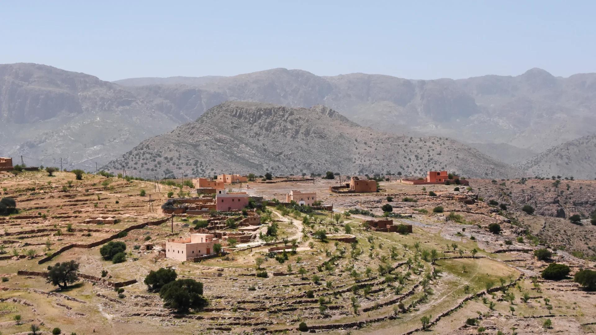
Setting off from Imlil
The path gradually leaves the village behind and gains height. The first hours cross a still-inhabited environment, where houses, orchards and cultivated terraces accompany the walkers. This section can feel easy at times, but you should conserve your energy: the summit is still a long way off.
Passing through Aroumd
Aroumd (also spelled Armed or Aremd) is one of the valley's major villages, perched above Imlil. It offers a wider view over the surrounding ridges and marks a well-known passage toward the massif. The landscape then gradually becomes more mineral.
The climb toward the refuges
The path continues toward the refuges higher up, a day that demands several hours of walking and steady effort. The refuge is where you eat, recover, sleep a few hours and prepare for a very early departure toward the summit.
The final ascent of Toubkal
The last climb often begins before sunrise. The air is colder, the slope becomes steeper and the altitude makes itself felt. It's best to keep a slow, steady pace rather than push hard and then run out of steam.
When conditions are favourable, the summit reveals a vast panorama over the ridges of the High Atlas. But success isn't measured only by reaching the top: you still have to get back down with enough energy and focus.
How many days does it take to get from Imlil to Toubkal?
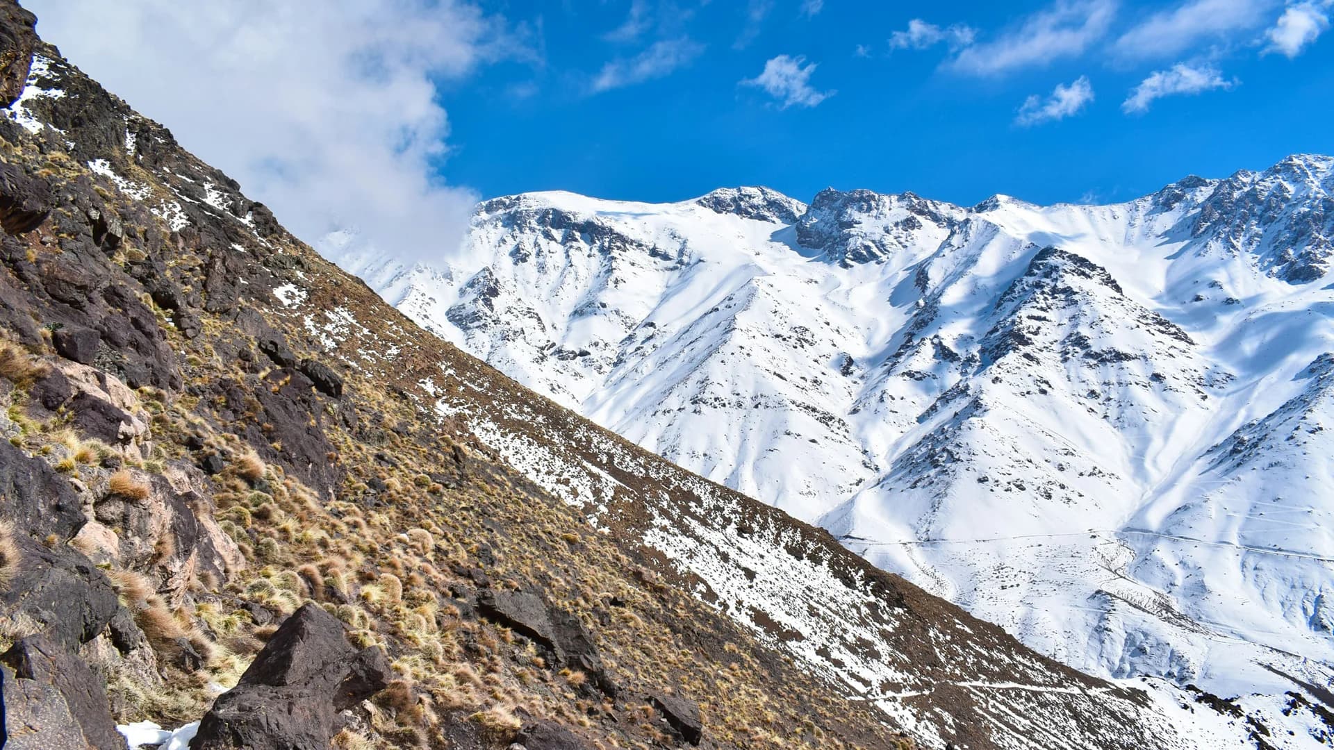
Practical tip : If you don't yet know how your body reacts to altitude, choose a programme that leaves more time.
Two-day ascent
The classic two-day programme suits walkers in good physical condition, already used to long days and elevation gain. This format is fast, but leaves little room for the unexpected and for acclimatisation.
- ✓Day one: Imlil to the refuge, with a long climb and an arrival that allows rest before the summit attempt
- ✓Day two: refuge, summit and descent, a particularly demanding day if the return continues all the way to Imlil
Three-day ascent
A three-day programme spreads the effort better and can suit travellers who prefer to move more calmly or avoid too long a descent after the summit. The extra day can be used for one more night at the refuge or an acclimatisation walk.
Four days or more
Longer treks let you approach the massif differently, taking in neighbouring valleys, passes, villages or other summits. This format suits those who don't just want to reach Toubkal, but to understand the territory around it.
Can you discover Toubkal without reaching the summit?
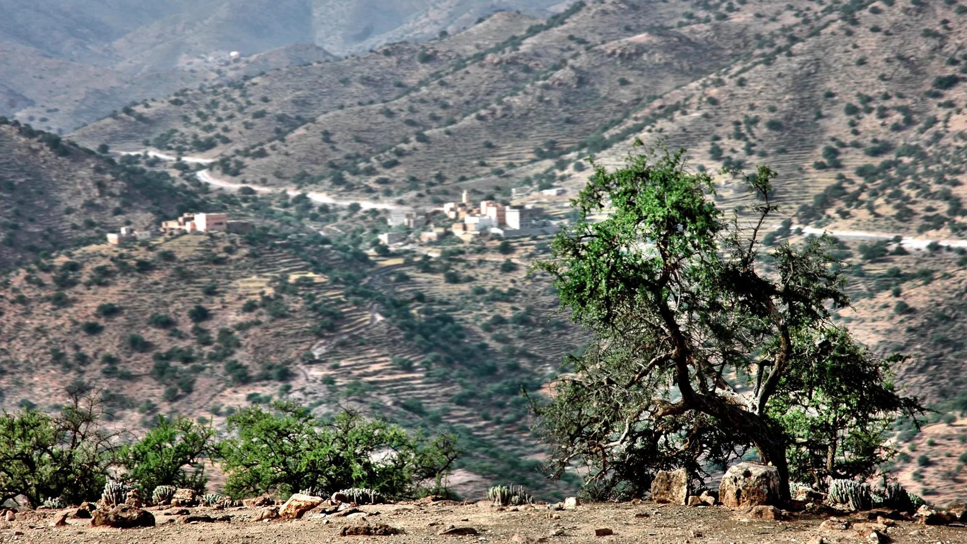
Yes. The Toubkal massif isn't limited to its highest point. From Imlil, several hikes let you discover the valley, villages and mountain scenery without reaching 4,167 metres — often better suited to families, beginners and travellers with only a single day.
- ✓A hike around Imlil, suited to a first discovery
- ✓A walk to Aroumd, to gain height without heading into high mountains
- ✓A panoramic hike toward a pass, achievable in a day for regular walkers
- ✓A first stage on the way to Toubkal, before returning to Imlil
- ✓A trek between several villages, favouring encounters and scenery
What level do you need for the Toubkal ascent?

The summer ascent of Toubkal doesn't necessarily require a mountaineer's skills when the trails are clear, but it remains a long, physically demanding high-mountain hike. A fit person unused to the mountains can suffer more than a regular walker advancing slowly: endurance and adaptation to altitude count as much as physical strength.
- ✓Walking several consecutive hours, each stage involving significant duration and elevation gain
- ✓Climbing at a steady pace, without exhausting your energy in the first hours
- ✓Coping with a night at a refuge, where comfort may differ from what you're used to
- ✓Moving over uneven terrain, made up of stones and slopes
- ✓Handling cold and wind, even when Marrakech is hot
- ✓Accepting the need to turn back if the group's condition or the conditions require it
What are the possible effects of altitude?
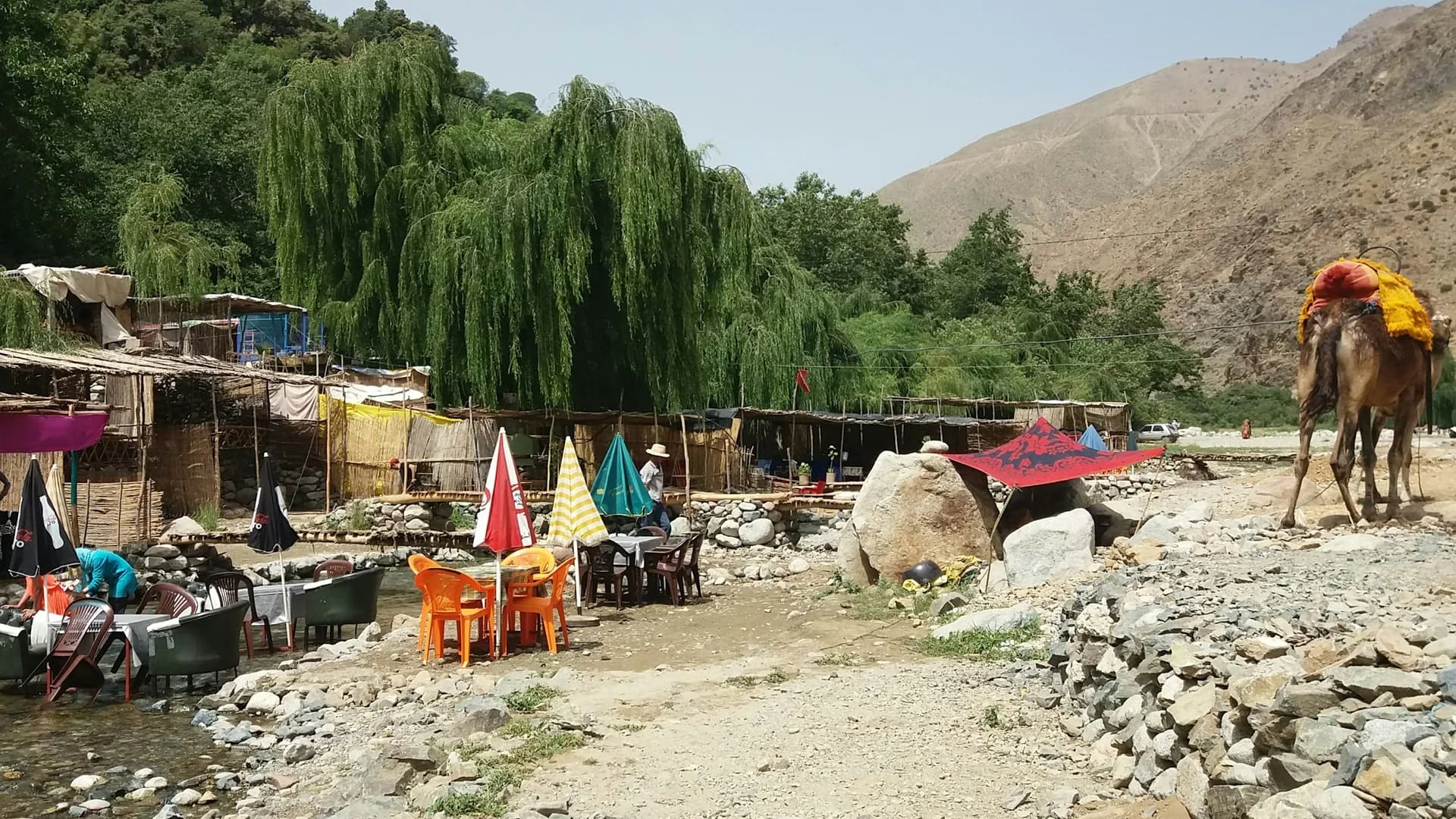
As you climb, the air holds less oxygen available to the body. Some people may feel headaches, unusual fatigue, nausea, a lack of appetite or trouble sleeping. These signs shouldn't be ignored or hidden to keep pace with the group: tell your guide immediately if you don't feel well.
- ✓Climb gradually: too fast a pace tires the body unnecessarily
- ✓Drink regularly, without waiting to feel strong thirst
- ✓Eat enough, even if your appetite drops slightly
- ✓Avoid alcohol before the ascent: it encourages dehydration
- ✓Listen to symptoms, as their worsening can require a descent
What is the best season to link Imlil to Toubkal?
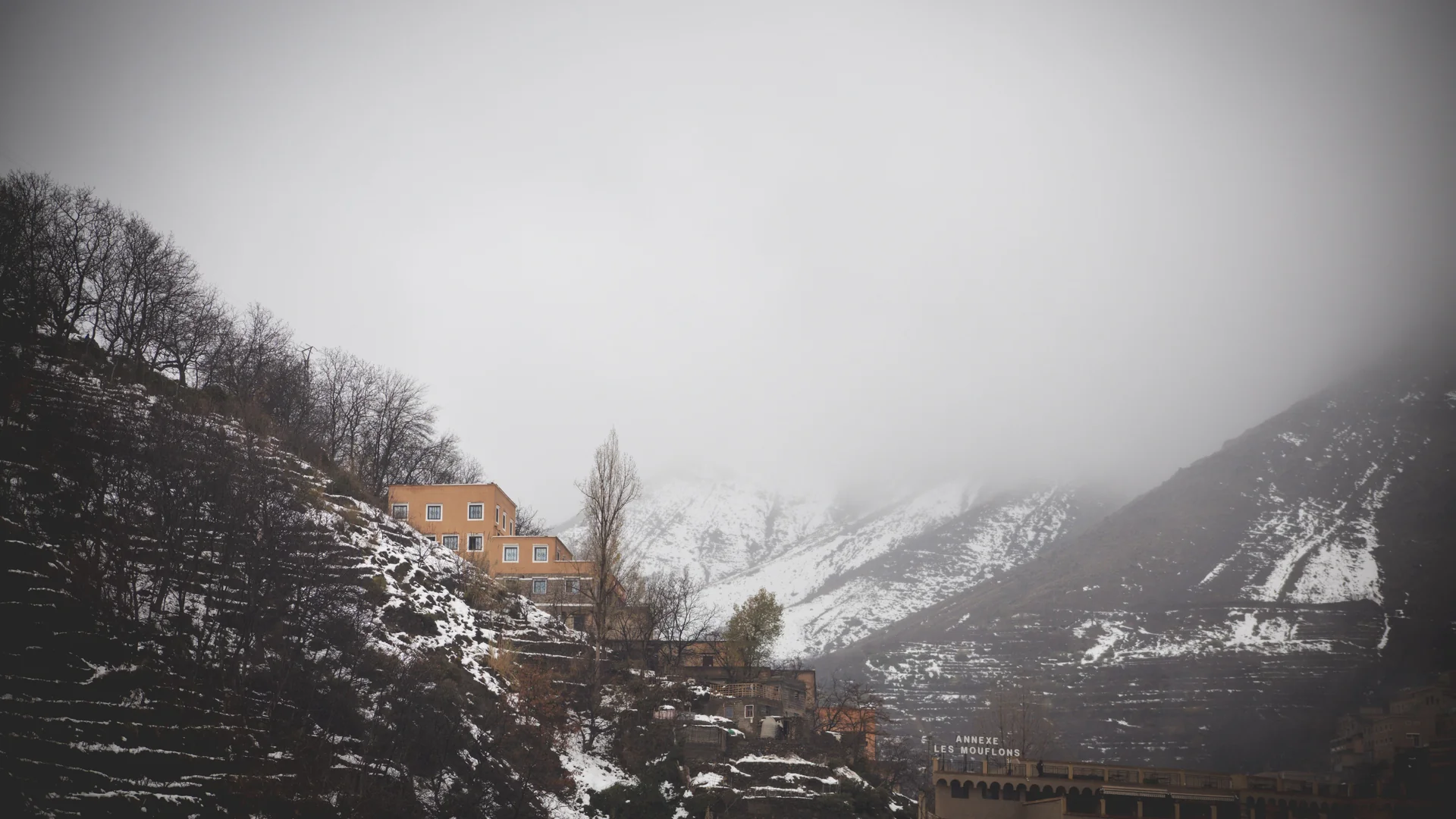
Practical tip : First check whether the season matches your experience and the equipment you're able to use, rather than choosing a date purely by availability.
From spring to early summer
Late spring often marks the return of more accessible conditions, but snow can linger on the heights: conditions should be checked before every departure. In the valley, the scenery is greener and temperatures pleasant; at altitude, cold remains possible.
In summer
Summer is a popular period for the ascent. Trails are generally clearer, but the days can turn hot on the lower sections. It's important to set off early and carry enough water: the summit can stay cold and windy even while Marrakech is going through a heatwave.
In autumn
Early autumn often offers good walking conditions, with soft light and fewer crowds after high season. Days shorten progressively: timings and clothing need to be adjusted.
In winter
In winter, Toubkal changes character. Snow, ice, cold and terrain-related risks turn a sustained hike into a genuine winter ascent. Crampons, an ice axe, suitable footwear and the skill to use them can become necessary; guidance by a competent professional is essential.
What equipment should you plan for?
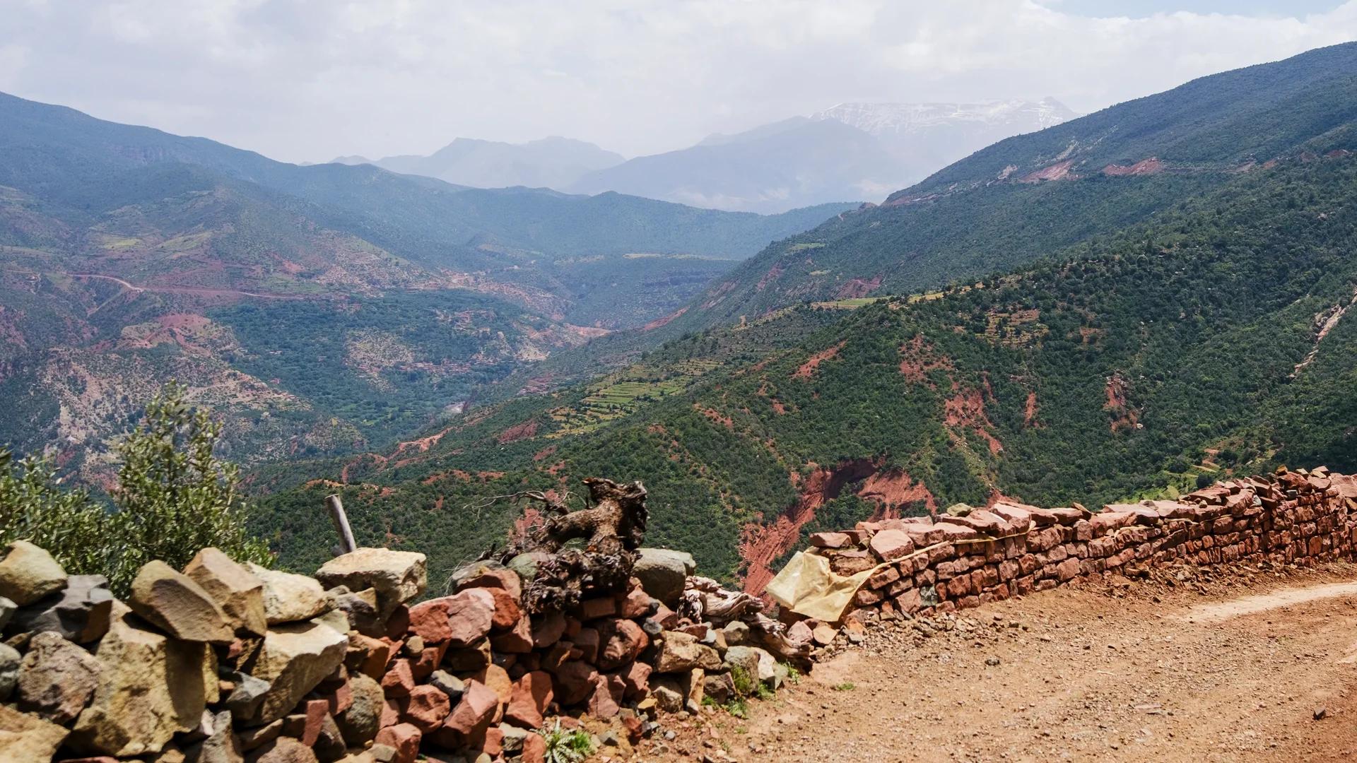
Equipment depends on the season, the programme and the conditions. For an ascent in clear weather, plan at least:
- ✓Hiking boots already broken in, with a grippy sole
- ✓A comfortable backpack, large enough without becoming excessively heavy
- ✓Layered clothing, to adapt to temperature changes
- ✓A waterproof, windproof jacket
- ✓Full sun protection: sunglasses, a hat and sun cream
- ✓A head torch, essential for departures before sunrise
- ✓Water reserves and some energy foods
- ✓A small personal kit with your usual medication
- ✓Gloves and a beanie, useful even outside winter at altitude
- ✓Trekking poles, which ease the legs on the descent
Why go with a local guide?
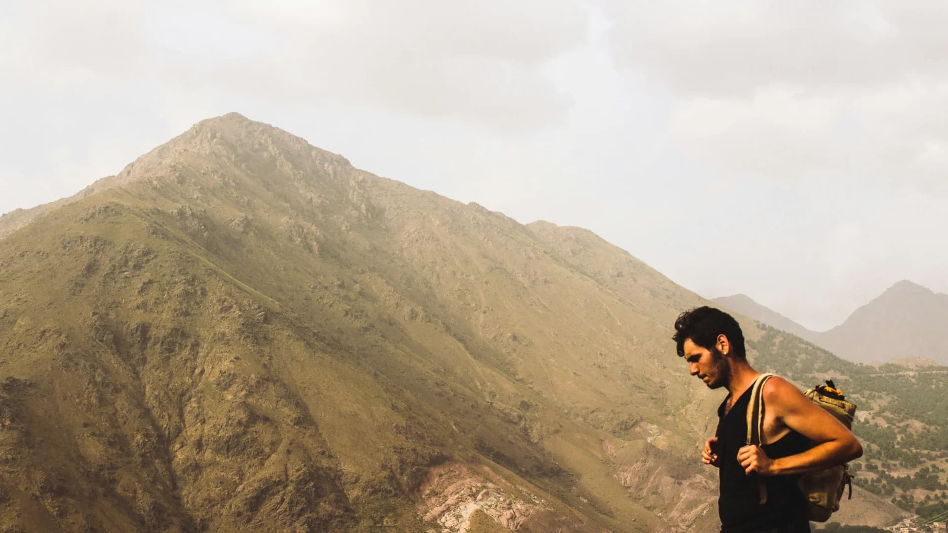
An experienced guide knows the paths, but their role goes well beyond orientation. A serious guide never promises the summit at any cost: they promise to make the most reasonable decisions with the information available.
- ✓Assess whether the programme matches the group's level
- ✓Adjust the pace and breaks
- ✓Watch for changing weather
- ✓Recognise the first signs of fatigue or altitude sickness
- ✓Choose a safer solution when conditions change
- ✓Coordinate refuges, mule handlers and meals
- ✓Explain the life of the villages passed through
- ✓Decide with the group when it becomes better to turn back
How do you reach Imlil from Marrakech?
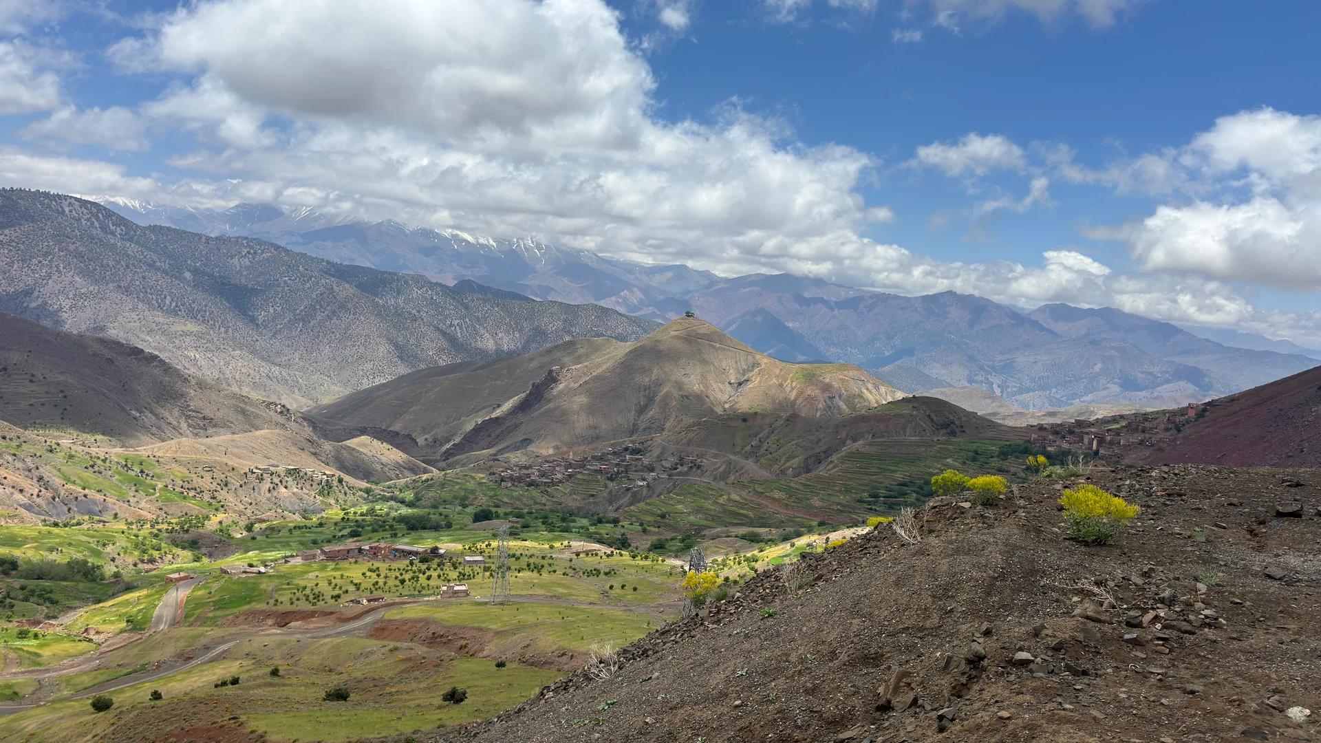
Imlil lies about 65 kilometres south of Marrakech. The journey usually takes between one and a half and two hours, depending on the starting point, traffic, weather and stops.
Practical tip : Avoid starting a long hike right after a late arrival in Marrakech: a night's rest can make all the difference.
By private transfer
The most comfortable solution for reaching Imlil with hiking luggage: it lets you choose the time and arrive directly near your accommodation or meeting point.
By shared transport
Shared taxis and other shared transport can serve Asni or Imlil. This solution is economical, but schedules and connections can vary.
With an organised trek
Some packages include transport from Marrakech, the guide, accommodation, meals and logistics. Check precisely what's included before booking.
Where to sleep before and during the ascent?
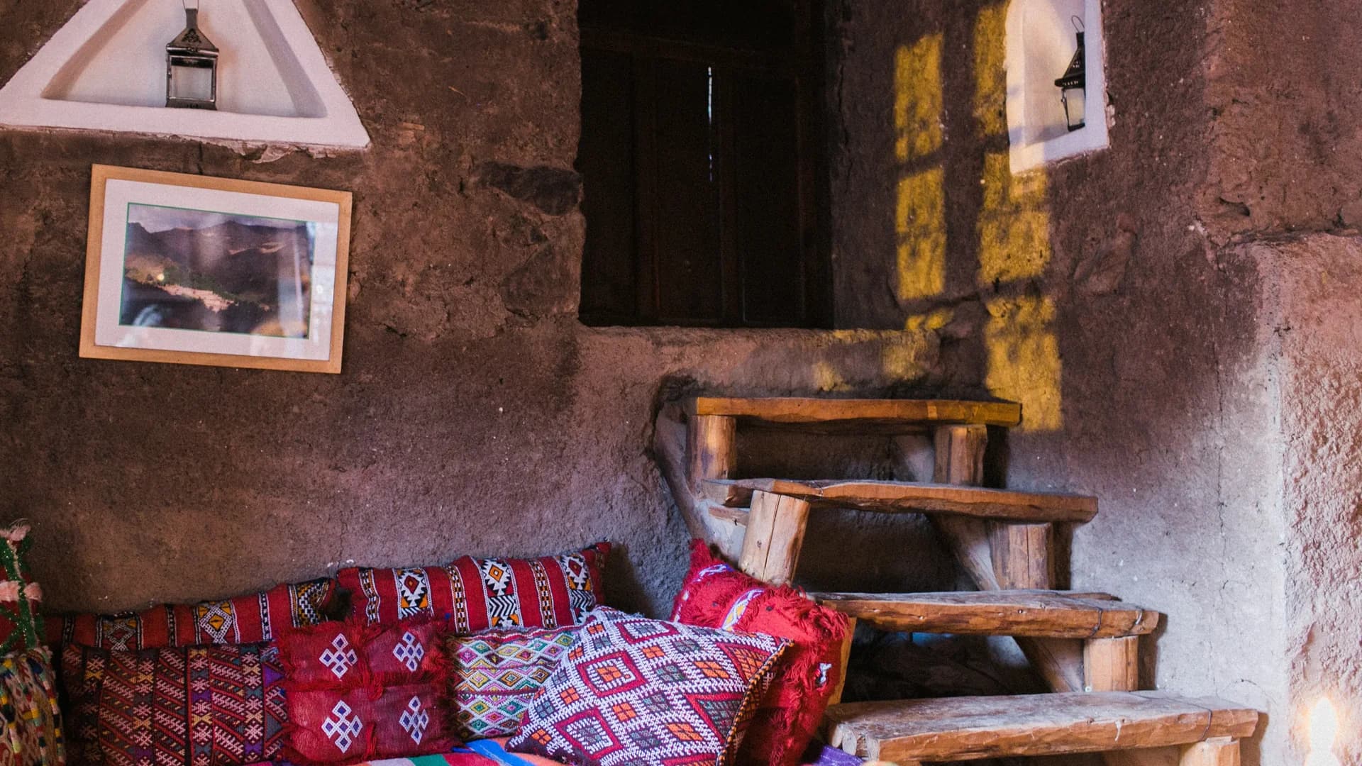
In Imlil
The village offers guesthouses, inns and lodges suited to several levels of comfort. A night in Imlil lets you prepare calmly for departure and meet the local team.
- ✓The distance between your accommodation and the starting point
- ✓Whether heating is available during cold periods
- ✓The possibility of an early breakfast
- ✓Storage for luggage you don't need during the trek
- ✓Availability of a suitable dinner before the effort
In the Toubkal refuges
The refuges are the usual stage before the final ascent. Comfort there is simple and spaces may be shared with other hikers. Bring earplugs, warm clothing and toiletries; book early enough during busy periods.
Can you do Imlil–Toubkal from Marrakech in a single day?
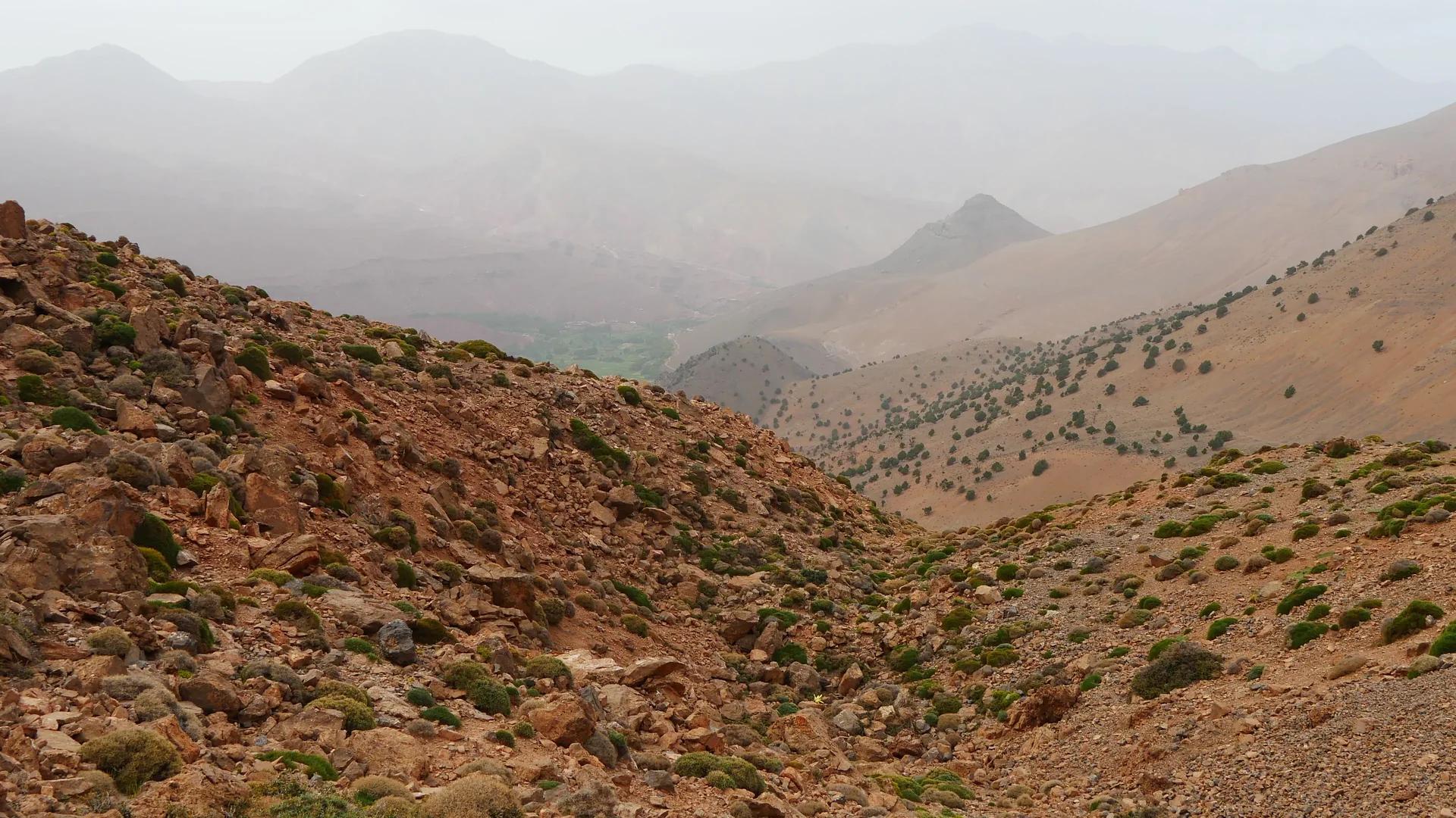
Attempting the round trip between Marrakech, Imlil and the summit of Toubkal in a single day isn't a normal, reasonable undertaking for the vast majority of travellers. The road journey, the elevation gain of over 2,300 metres, the altitude and the long descent make this programme excessively demanding.
From Marrakech, a single day is better suited to an excursion in the Imlil valley or a hike between the villages. To reach Toubkal under good conditions, allow at least two days and, if possible, a night in Imlil before or after the trek.
Imlil or Toubkal: which experience should you choose?
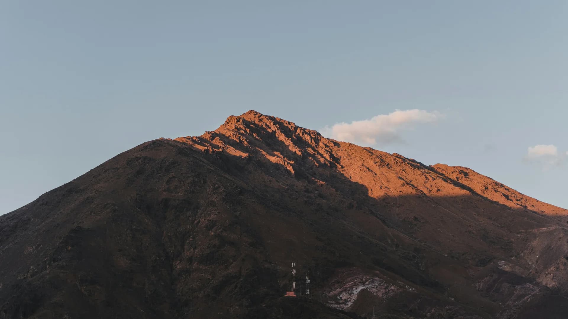
You can also combine both: spend a night in Imlil, discover the valley, then start your trek after good preparation.
| Choose Imlil if you're looking for | Choose the Toubkal ascent if you're looking for |
|---|---|
| A one-day excursion from Marrakech | A physical challenge over several days |
| An accessible or moderate hike | A high-mountain experience |
| Discovering Amazigh villages | Long hours of walking and significant elevation gain |
| A local lunch and mountain scenery | A night at a refuge |
| An activity adaptable to families or beginners | Reaching the highest summit in North Africa |
Points to check before you set off
Over the years, I've seen very fit walkers underestimate altitude, and older hikers reach their goal through a calm, steady pace. The mountain doesn't only ask for strength: it asks for patience.
- Train on walks that involve elevation gain
- Wear your boots several times before the trip
- Check the weather and trail conditions
- Choose a programme that matches your true level
- Tell your guide about any health issues
- Keep a spare day in your trip
- Accept that the itinerary may be changed
- Never make the summit an obligation
Toubkal naturally draws the eye, but the mountain begins well before the summit. It begins on the road to Imlil, in the villages clinging to the slopes, with the first step on the trail and in the decision to walk at a reasonable pace.
For a simple discovery, choose a hike around Imlil. To reach the summit, allow several days, suitable equipment and serious guiding.
Tell us your date, number of participants, your hiking experience and the season you're considering: we'll help you choose between an excursion to Imlil, a panoramic hike or a genuine Toubkal ascent.
Frequently asked questions
What you need to know
Is Imlil located at the foot of Toubkal?+
Imlil is the main starting village for treks toward Toubkal. It lies in a valley at the gates of the national park, several hours' walk from the refuges and the summit.
What is the altitude of Imlil?+
Imlil sits at roughly 1,700 to 1,800 metres of altitude depending on the part of the village.
What is the altitude of Mount Toubkal?+
Mount Toubkal rises to 4,167 metres. It is recognised as the highest summit in Morocco and in North Africa.
How long does it take to climb Toubkal from Imlil?+
Most ascents are organised over two or three days. The actual duration depends on the walkers' level, the season, acclimatisation and weather conditions.
Is Toubkal accessible to beginners?+
A beginner in good physical condition can consider the ascent during a favourable period, with serious preparation and suitable guiding. The winter ascent, however, requires technical skills and equipment.
Can you see Toubkal from Imlil?+
The massif overlooks the region, but the summit itself isn't necessarily visible from every spot in the village because of the intervening ridges.
Should you sleep in Imlil before the ascent?+
It isn't always compulsory, but a night in Imlil lets you rest, meet your guide, check your equipment and start the hike early.
Can you climb Toubkal in winter?+
Yes, but winter conditions make the ascent more technical. Suitable equipment, sufficient experience and guidance from a competent professional are essential.
Where do you sleep during the Toubkal trek?+
Hikers generally spend the night in a mountain refuge before the final climb to the summit.
Can you discover the massif without reaching the summit?+
Yes. Several hikes around Imlil, Aroumd and the neighbouring valleys let you discover the massif's scenery without undertaking the full ascent.