
Journey · High Atlas
Marrakech–Imlil Distance: Planning the Journey
To plan the day properly, think in door-to-door time rather than kilometres alone: the distance on the map doesn't tell the whole story on a mountain road.
- To factor in
- Traffic and stops
- Road
- Mountain
- Tip
- Allow a margin
- Distance
- ≈ 65 km
- Typical duration
- 1 h 30 to 2 h
Why does the journey time vary so much?
Pickup location in town, traffic and breaks can noticeably change your arrival time. The final kilometres, on a winding mountain road, also take longer than the same distance on flat ground.
What influences the travel time?
- ✓The exact starting point in Marrakech
- ✓Traffic leaving the city
- ✓Photo stops or breaks along the way
- ✓Weather conditions on the mountain road
- ✓The type of vehicle and the driver's pace
How should you plan the round trip?
Set the return place and time before you leave. A margin is best if you have a train, a flight or a booking afterwards.
Does a short distance mean a simple journey?
65 kilometres can look short on a map, but the road climbs gradually into the High Atlas. Don't book a tight activity right after your arrival or right before your departure: keep a realistic margin.
Why not just rely on the time shown by a GPS or an online map?
Navigation apps calculate a theoretical time based on the average permitted speed, without always properly accounting for the real slowdowns of a winding mountain road or the stops a tourist journey involves. The time shown is a useful reference point, but always allow a margin around that figure rather than setting a tight schedule around it.
What does this distance actually translate to?
To picture this journey concretely, it's roughly equivalent to an hour and a half to two hours on a secondary road in France, with one notable difference: the end of the route climbs into the mountains, which lengthens the time compared with a flat road of the same length. It's this last stretch, between Asni and Imlil, that explains most of the gap between the distance on the map and the real travel time.
What does the journey look like in practice?
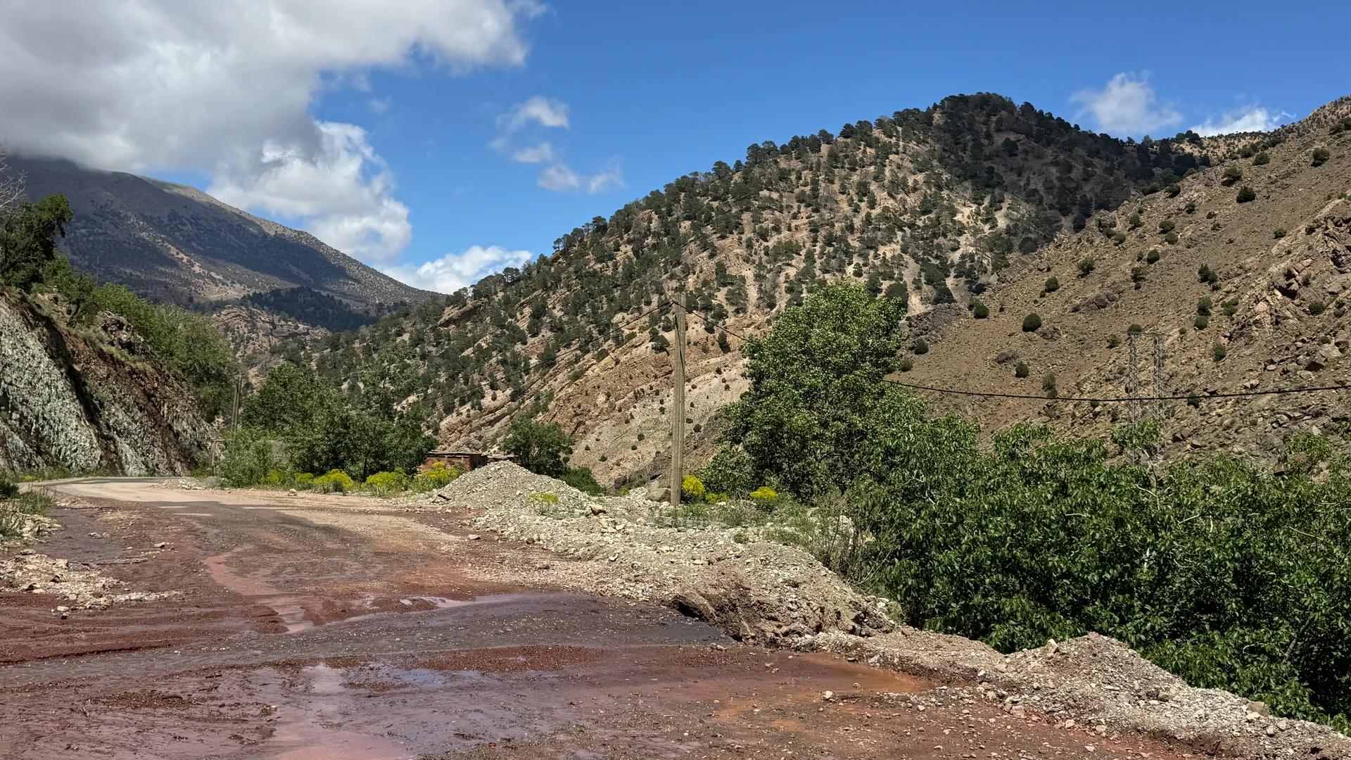
The road linking Marrakech to Imlil is entirely paved. It first crosses the Haouz plain, then runs along the foothills of the High Atlas before reaching Asni, the last town before the final climb into the Imlil valley.
Marrakech to Asni
The first part of the journey is direct, on a wide, well-maintained road through the farming plain.
Asni to Imlil
The final kilometres climb in switchbacks up the valley, with views that gradually open onto the peaks of the Toubkal massif.
What travel options should you compare?
Private Transfer Between Marrakech and Imlil
| Option | Advantage | To consider |
|---|---|---|
| Private transport | Flexible timing, direct journey | Higher cost than shared transport |
| Organised excursion | Journey included in the programme | Fixed timing, less flexibility |
| Shared transport | Economical solution | Less predictable connections and timing |
Does the distance change depending on your starting point?
Most travellers set off from central Marrakech or from Marrakech–Menara airport. The distance and duration vary slightly depending on the exact starting point within the city, with the airport located to the west of town, which can add a little crossing time before joining the road to Asni.
What should you keep in mind before planning your day?
- ✓Always allow a margin beyond the minimum travel time quoted
- ✓The return trip can take a similar amount of time to the way out: don't underestimate it at the end of the day
- ✓An organised excursion generally absorbs these uncertainties into its schedule
- ✓Private transport lets you adjust the departure time to the day's conditions
Can this journey be combined with another stage of your trip?
Some travellers use the trip to Imlil to combine several stops in the High Atlas, rather than doing the round trip in one go. This calls for slightly different planning, to discuss with your driver or agency before departure.
- ✓A photo stop on the road between Marrakech and Asni, where the scenery gradually changes
- ✓A combination with another High Atlas valley if the schedule allows
- ✓A very early departure to enjoy more time on site without lengthening the overall day
Is the journey different on an organised excursion compared with independent transport?
In both cases, the route taken stays the same. The difference lies in the pace: an organised excursion follows a fixed schedule designed to make the most of time on site, while independent transport leaves you free to stop or adjust the departure time as you wish. The choice mainly depends on whether you prefer flexibility or the simplicity of a ready-made programme.
Frequently asked questions
What you need to know
Can you return to Marrakech the same day?+
Yes. Simply arrange the return time before departure and keep a realistic margin.
What is the exact distance between Marrakech and Imlil?+
About 65 kilometres, depending on the route taken.
How long does the journey take?+
Generally between 1 h 30 and 2 h, depending on the starting point, traffic and road conditions.
Is the road difficult?+
The road is paved all the way to Imlil, but becomes winding in the mountains over the final kilometres. Plan for this if you're prone to motion sickness.
Is the road passable all year round?+
The road is generally passable all year, but exceptional winter conditions can occasionally affect certain sections. Check before setting off in winter.
Do you need a 4x4 to reach Imlil?+
No, the road to the village is paved and accessible to a standard vehicle.
Is the distance the same from Marrakech airport?+
It's very close, with a slight adjustment depending on the time needed to cross the city from Marrakech–Menara airport to the Asni road.
Does the return journey take the same time as the way out?+
Generally yes, barring a change in traffic. Don't assume a faster return trip when planning your day.
Are there petrol stations or shops along the road?+
Yes, notably in Asni, the last town before the final climb to Imlil, where you'll find basic shops. It's still best to fill up with fuel in Marrakech before setting off.
Is motion sickness common on this road?+
The winding final kilometres between Asni and Imlil can indeed trouble people who are sensitive to it. Taking motion sickness medication beforehand can help if you're prone to it.
Can the journey be done at night?+
The road is passable at night, but it's less lit than in town and more winding toward the end. A daytime journey remains preferable, especially to enjoy the scenery and for more comfortable driving.
Is there an alternative route between Marrakech and Imlil?+
The road via Asni remains the standard and most direct route. Possible variants exist depending on the exact starting point in Marrakech, but they generally join the same road before the final climb.
Is the distance longer in winter because of conditions?+
The distance itself doesn't change, but the travel time can lengthen if winter conditions require more cautious driving over the final mountain kilometres.